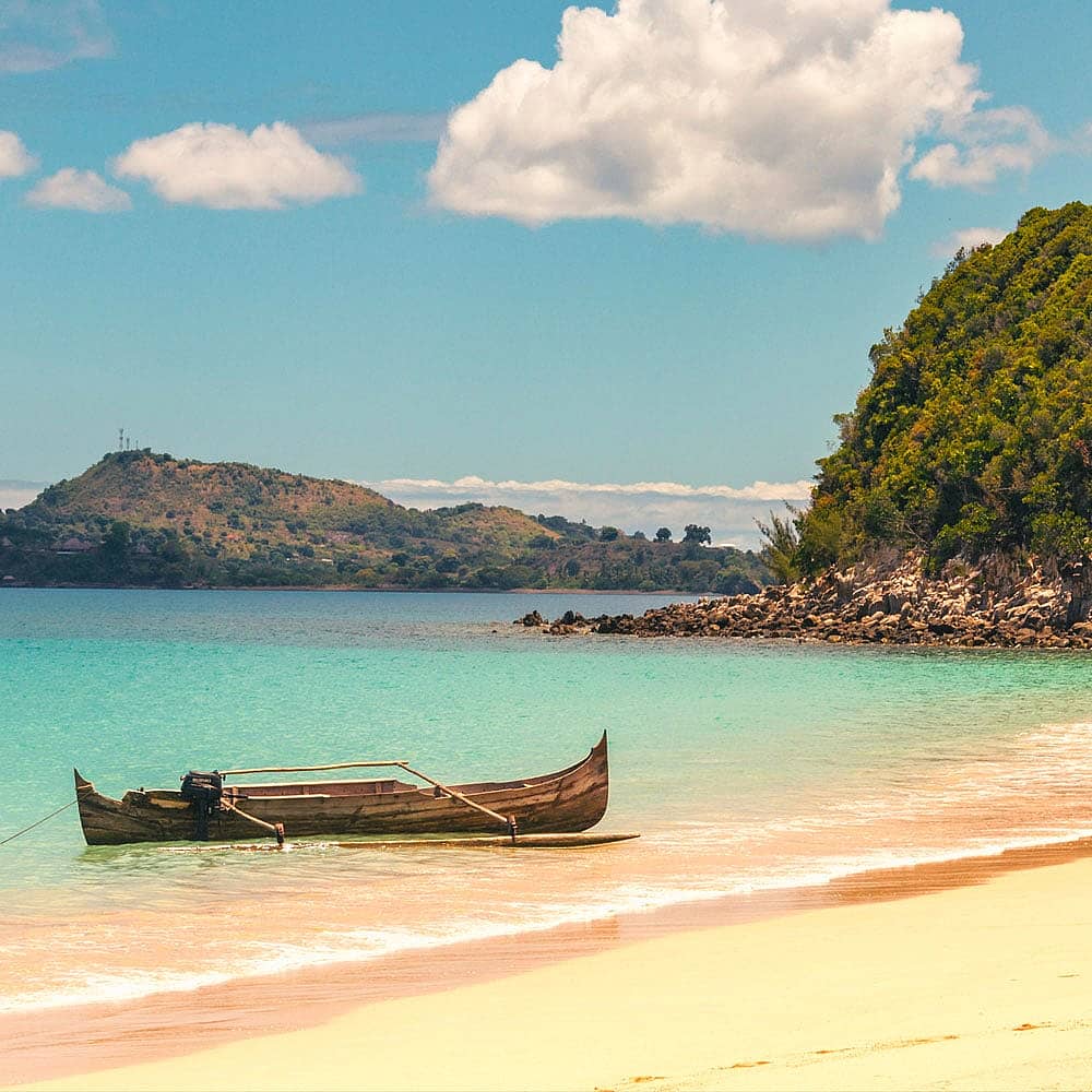


The journey down the Manambolo River

In search of adventure
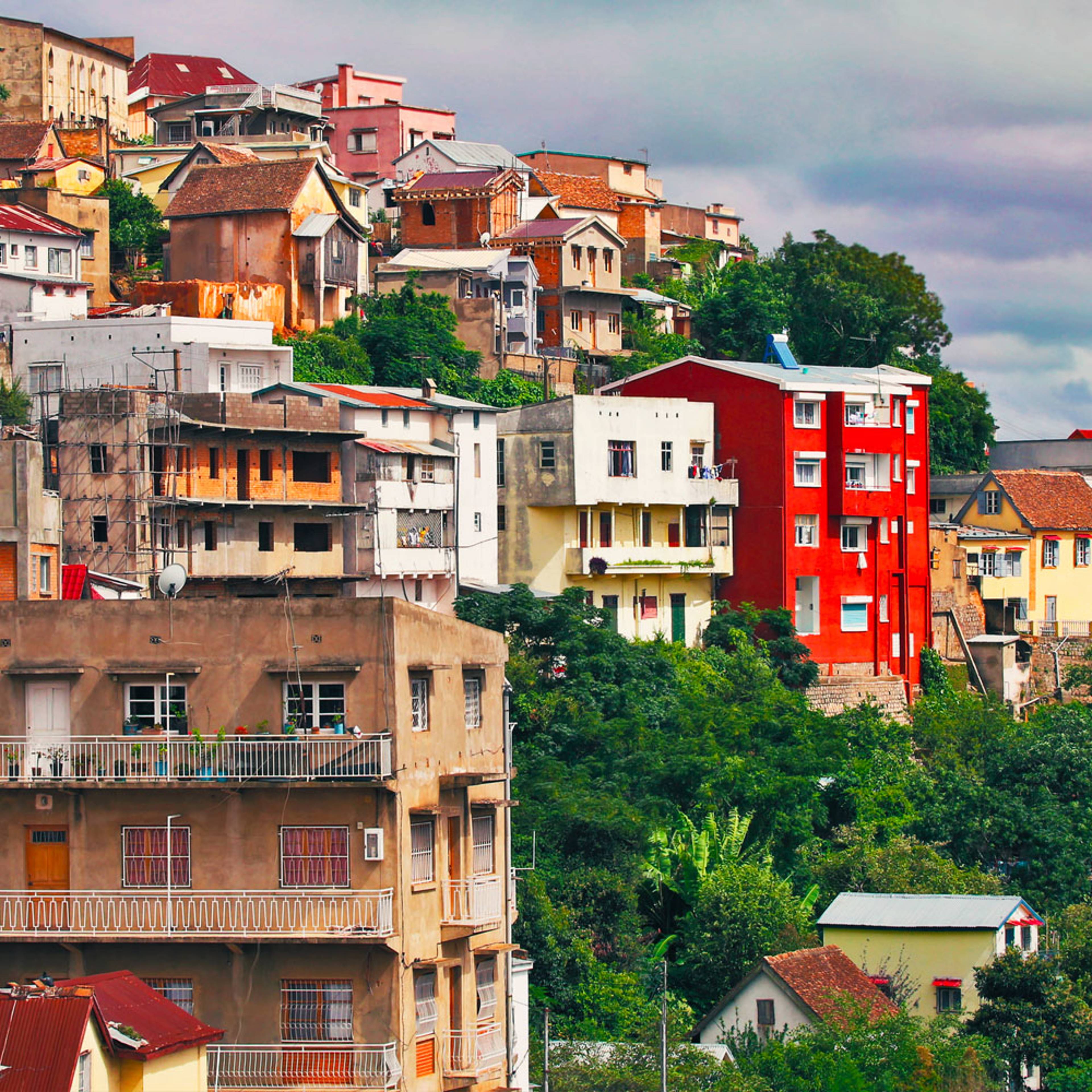
After visiting some parts of the country in a more "classical" way, for my next trip I decided to do something more original to discover the west of the country. At the table of a greasy spoon in the capital, I asked some Malagasy friends for some advice for my adventure.
As biologists, they are used to using rivers to reach the most inaccessible parts of the country for their scientific missions. They put me on the trail of a river that is still rarely visited and which meanders through the western part of the island to flow into the Mozambique Channel: the Manambolo River.
After contacting one of the few guides to propose this expedition, a date was set for the departure. The first stage of our journey was to be Antananarivo – Tsiroanomandidy.
 ©
©
Starting out
At the rear of a bush taxi, the first day was taken up by the road journey to our first stopover in Tsiroanomandidy. The beautiful mountains of the Imerina slowly give way to gentler and drier valleys. The west loomed in the distance.
The next day, we took in supplies at the local market before continuing our journey in a bush taxi on a bumpy track until we reached the village of Belobaka. We had a hearty meal and set out on our trek.
Reaching the town of Ankavandra, which was to be the starting point for our river journey, is no easy feat. From the capital, it takes about a day's journey by vehicle and then three days of hiking. It is possible to reach Ankavandra directly by plane, but having said that I would advise you to take the land route - it would be a pity to miss out on the magnificent scenery that you travel through!
A magnificent trek to discover the west
We began our trek through the western highlands. The walk is not very difficult and is not too demanding physically, but as the pace never lets up I would recommend it for experienced trekkers. The landscape is gorgeous. The terrain is gentle and as soon as you arrive at the summit of a hill, a sea of hills appears that extends to the distant horizon.
At night we camped on the banks of the rivers that cross the landscape at the foot of hills that have been carved by "lavakas", the Malagasy name for these "holes" in the hillsides. A typical feature of Malagasy geology, this word has become the international term to designate a collapse of the soil due to erosion.
After three days of trekking through this sumptuous landscape of sun-stripped glens and pastures, the village of Ankavandra appears behind the long slope that allows you to leave the plateau to reach the river banks.
Encountering the Manambolo
The next day, we began our descent of the river on long pirogues which seemed to be about to capsize at any time. But no worries - even well-laden they remain stable and will not turn over. We drifted gently downstream with the flow of the current for three days, stopping on the banks for meals. We caught fish to accompany the supplies we had brought from Ankavandra. During the evening, we pulled the pirogues onto the white beaches of the river banks and spent the night in the tents around the campfire.
The landscape silently changes from grassy plains where the river is wide to give way to the first cliffs. This was our gateway into the Bemaraha Mountains.
A river full of surprises
The river becomes narrower and is lined with huge cliff faces that echo the screeching of birds. Wherever the vegetation has managed to gain a toehold in the rock, we could see families of lemurs jumping from branch to branch.
After a fork in the river, we arrived in a section where we could see the riverbed through the turquoise water. Further downstream there is a group of natural pools, surrounded by large trees growing from the walls. The water is cool but it is difficult to resist a dip in such a paradise...