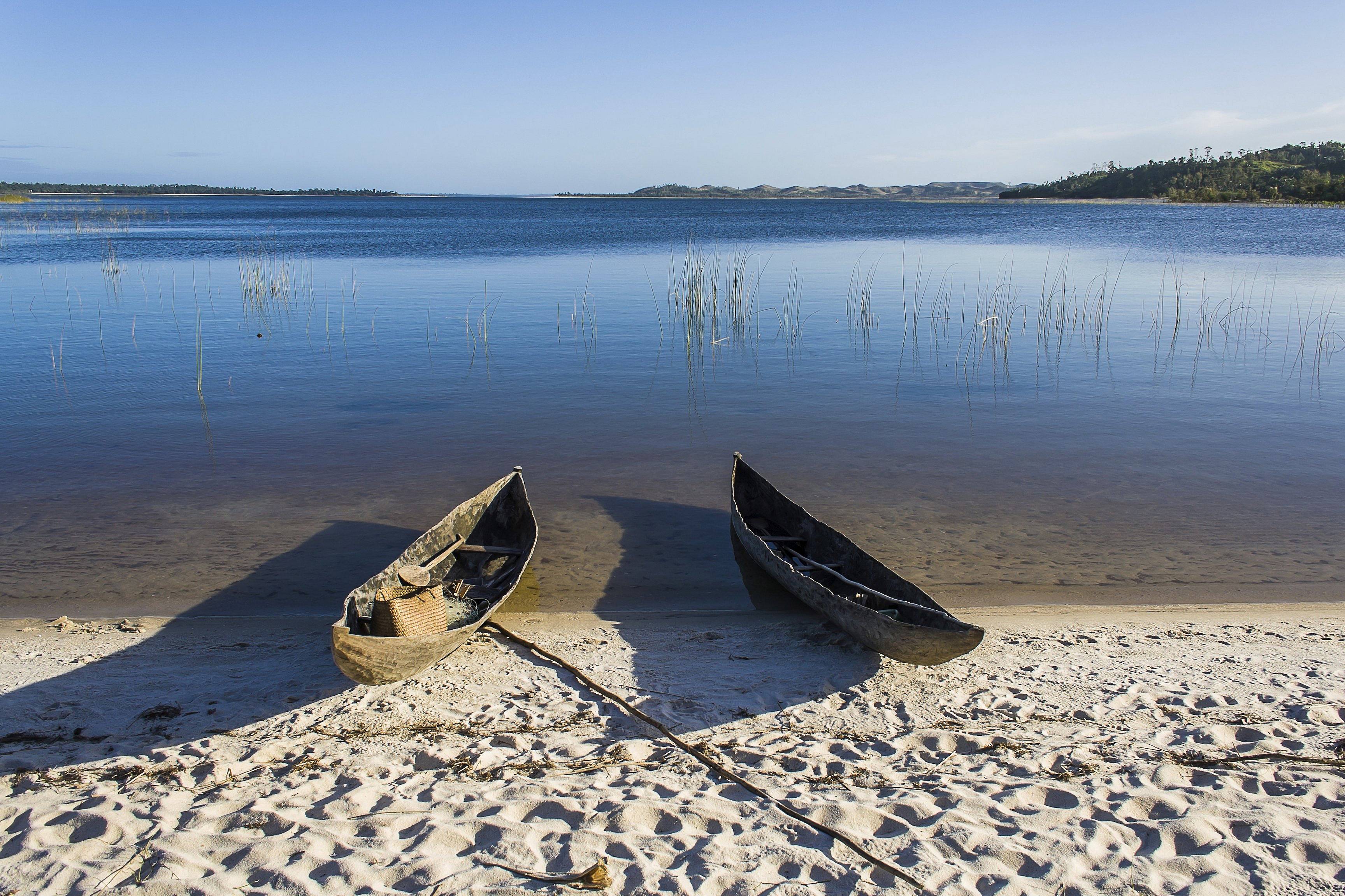
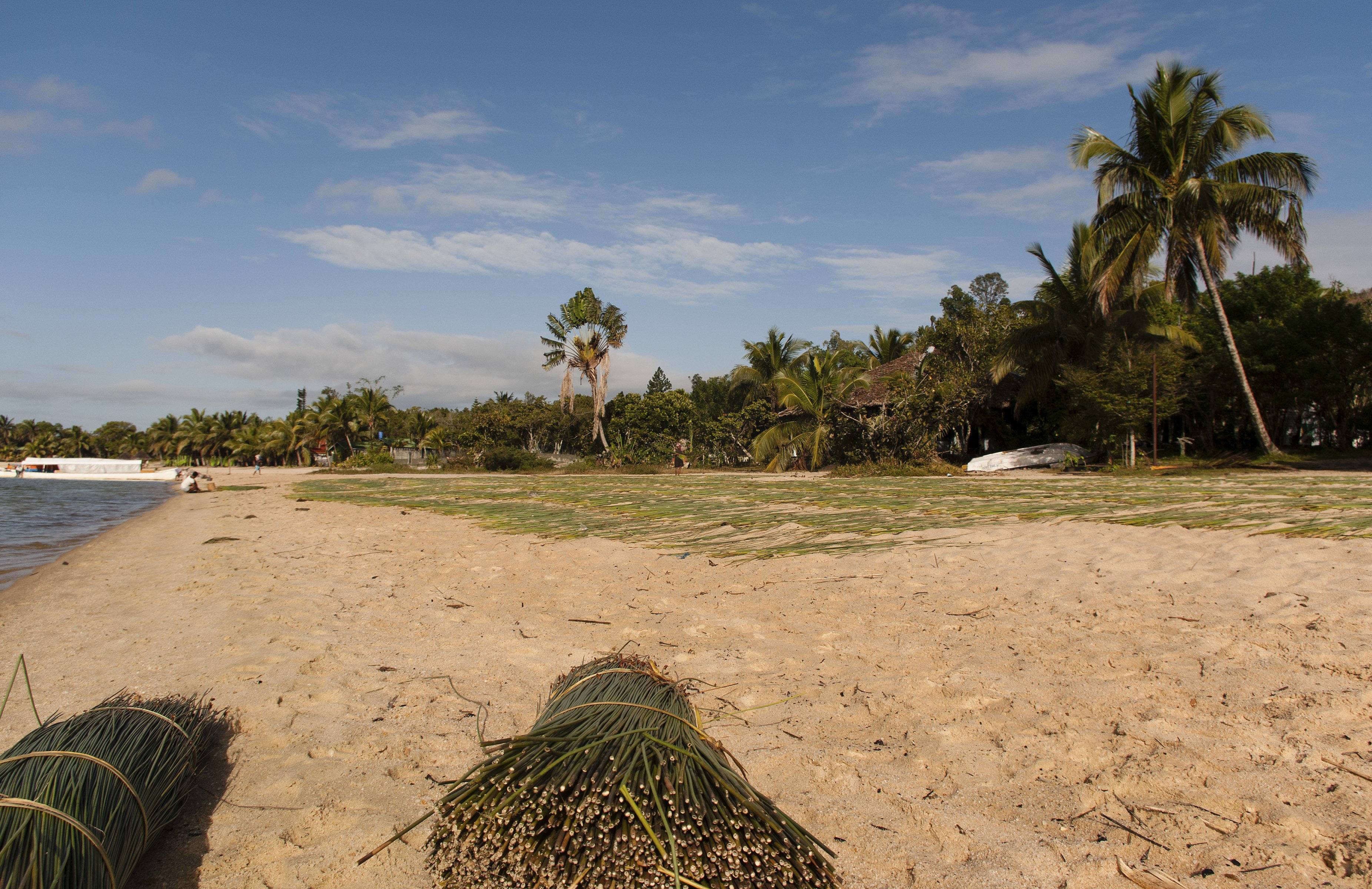
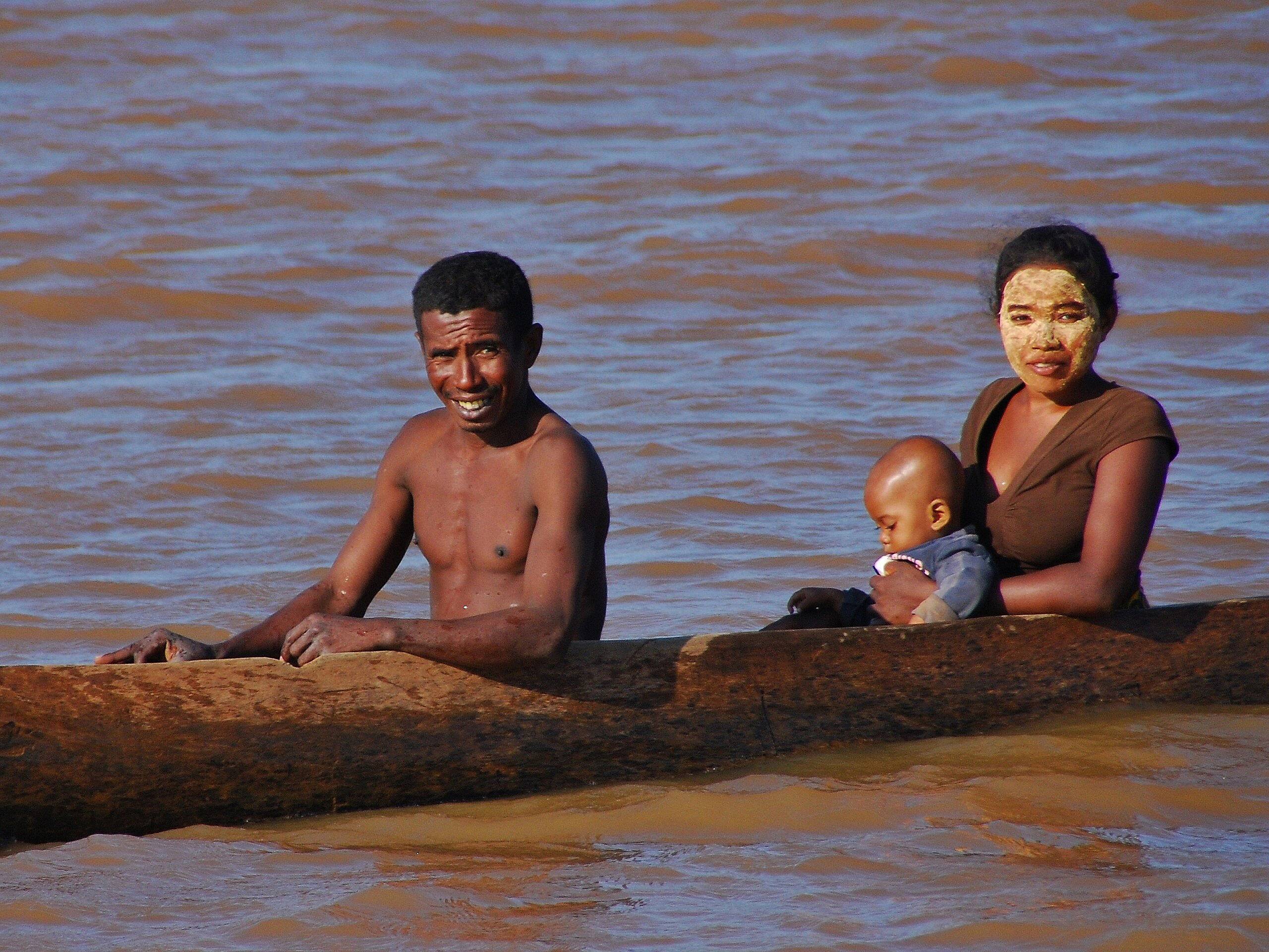
Built at the beginning of the 20th century, the Canal des Pangalanes was developed by merging hundreds of lakes and lagoons running along Madagascar's eastern coast. Stretching over more than 370 miles between Tamatave and Mananjary In the south, it boasts about 250 navigable miles.
Nestled between the mountains and the Indian Ocean, Fort Dauphin or Tolagnaro translates to "place of dreams" in Malagasy. Its status as a peninsula gives it three distinct bays.
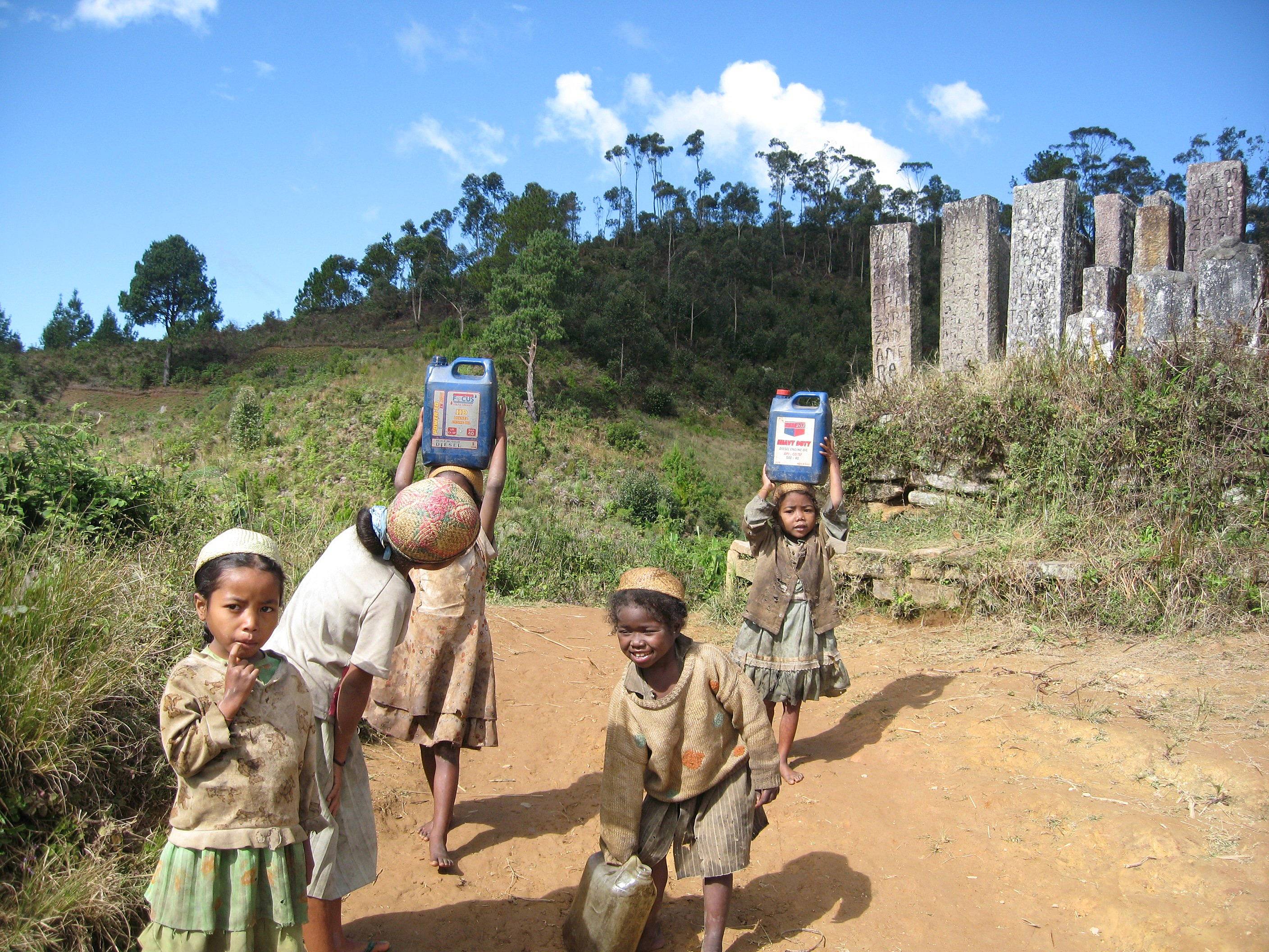
Faliarivo is one of the villages you go through when trekking in Zafimaniry country. Perched on a rocky spur, the village dominates the surrounding area and offers a breathtaking view of the region. 
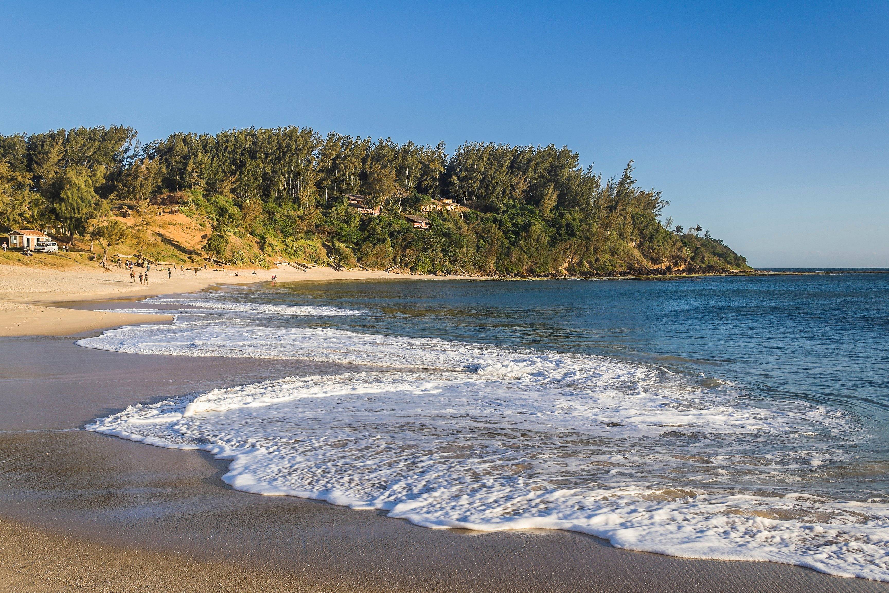
Ambatoloaka is an old fishing village on the island of Nosy Be, which has been transformed into a seaside resort today.
Ankavandra is a quiet town in the Menabe region of western Madagascar.
This village of 7000 inhabitants is a jewel of wild beauty and serenity Manambato lies on Lake Rasoabe, which is crossed by the Pangalanes Canal. The region is 99% rural and the inhabitants live mainly from rice, coffee, maize, vanilla and potato farming.
Located on the shores of the Marimbona River, Soanierana Ivongo is the gateway to two very different worlds. It is the dock for boats that go to Sainte Marie island.
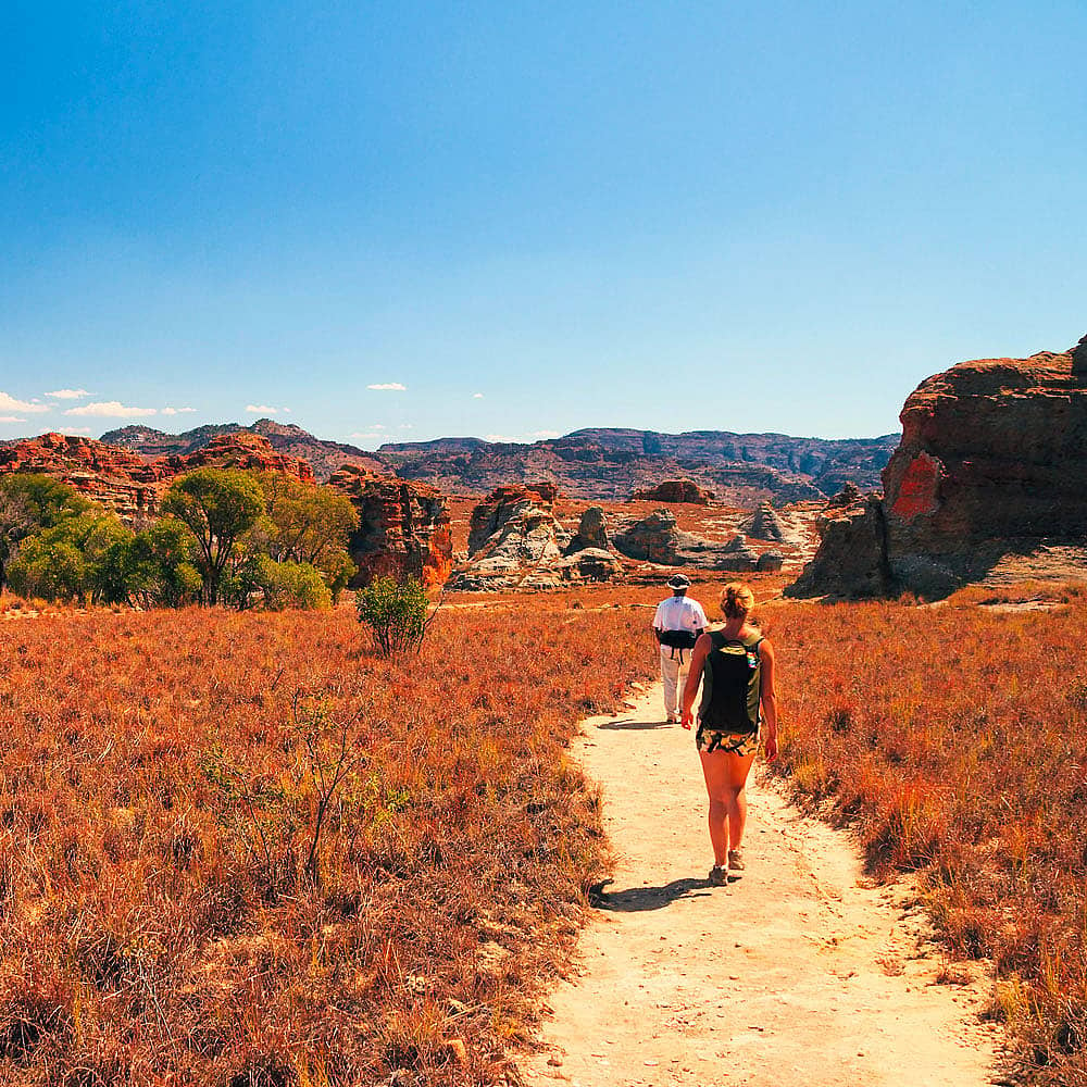
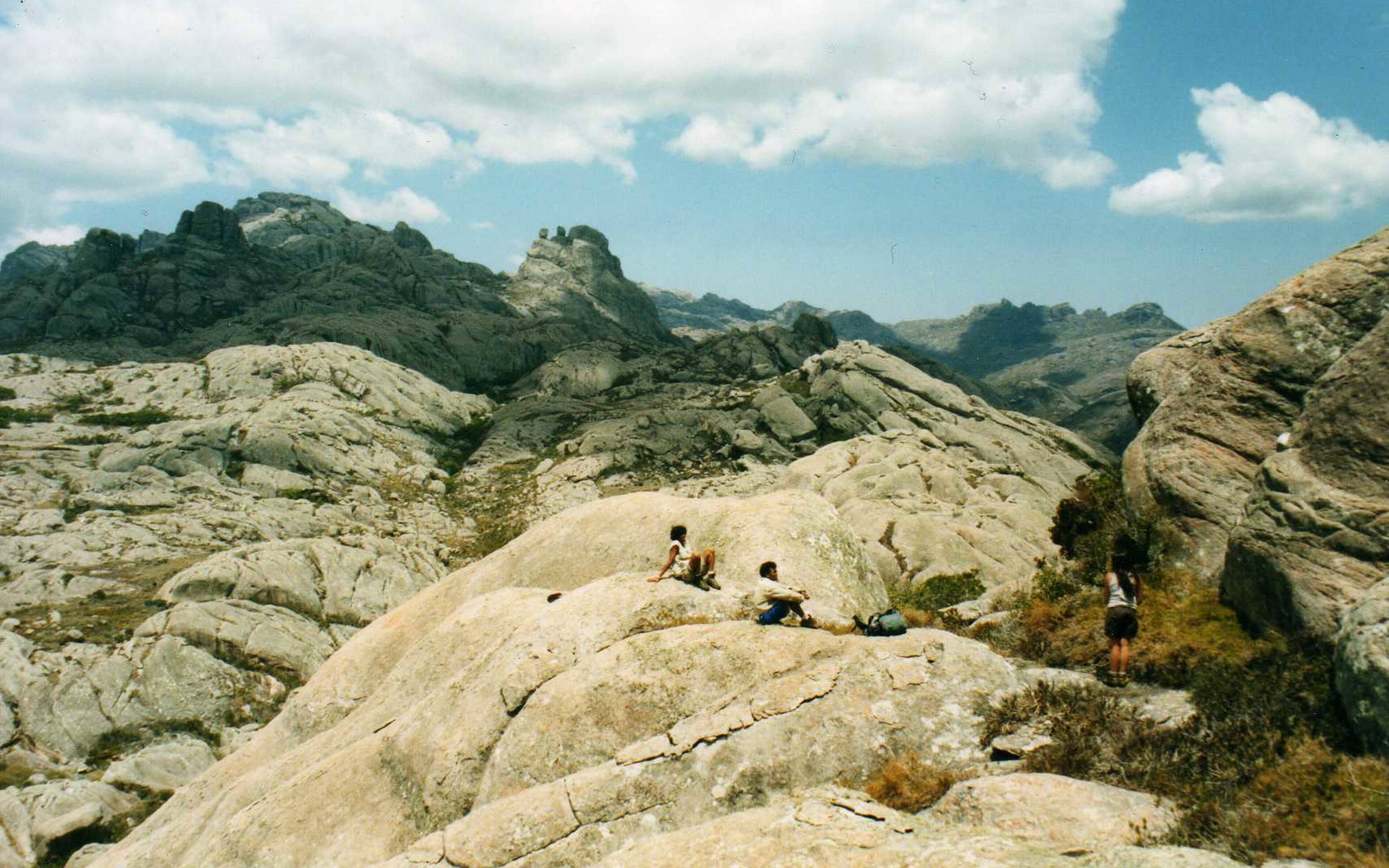
Ready to climb? Andringitra National Park has Boby Peak, which is 2,658 metres high! It's the highest peak in Madagascar and makes a magnificent trek.
Lake Itasy is a vast expanse of water of 3,500 hectares located near the town of Ampefy in the Madagascar Highlands.
Mananjary is typically the departure or arrival point of cruises on the Canal des Pangalanes, going to or coming from Tamatave or Manahoro.
Bordered by the Canal des Pangalanes, the Indian Ocean and the Fanantara river, Ambohitsara is a small village in eastern Madagascar. 
Nosy Varika is community in the east of Madagascar that is cut off from the world. It is accessible by boat as the track which leads there is virtually impracticable. 
Masomelaka is a village on the shores of the Canal des Pangalanes, located at the mouth of the Masora River. It is a frequent stopover for travellers heading south to Mananjary or north to Mahanoro. 
Mahanoro is a town on Madagascar's east coast nestled between the shores of the Canal des Pangalanes and the Indian Ocean. 
In the direction of Menabe country Masiakampy is the departure point for barges and canoes, the ideal transport method for discovering nature and the daily lives of the residents from the water during a trip off the beaten track.
Bevoay is a little village in the Atsimo-Andrefana region of southwestern Madagascar. A little town in the bush, Bevoay is located on the banks of the Mangoky River and people usually visit it on a trip between Morombe and Toliara. 
Morombe is located on the edge of one of the largest lagoons in the world. The part that connects Manombo to Morombe, which is the sole communication route in the region, stretches over more than 60 miles and has a wild and magnificent coral reef.
Anja Community Reserve is a small protected zone covering an area of about 74 acres and is managed by a village association south of Ambalavao. 
In the heart of Menabe region, the name Belo-sur-Tsiribihina can be transmated as "lots of rottenness". It's the vestiges of a great battle between the Merina and Sakalava people. The roads of the village were littered with bodies, hence the name.