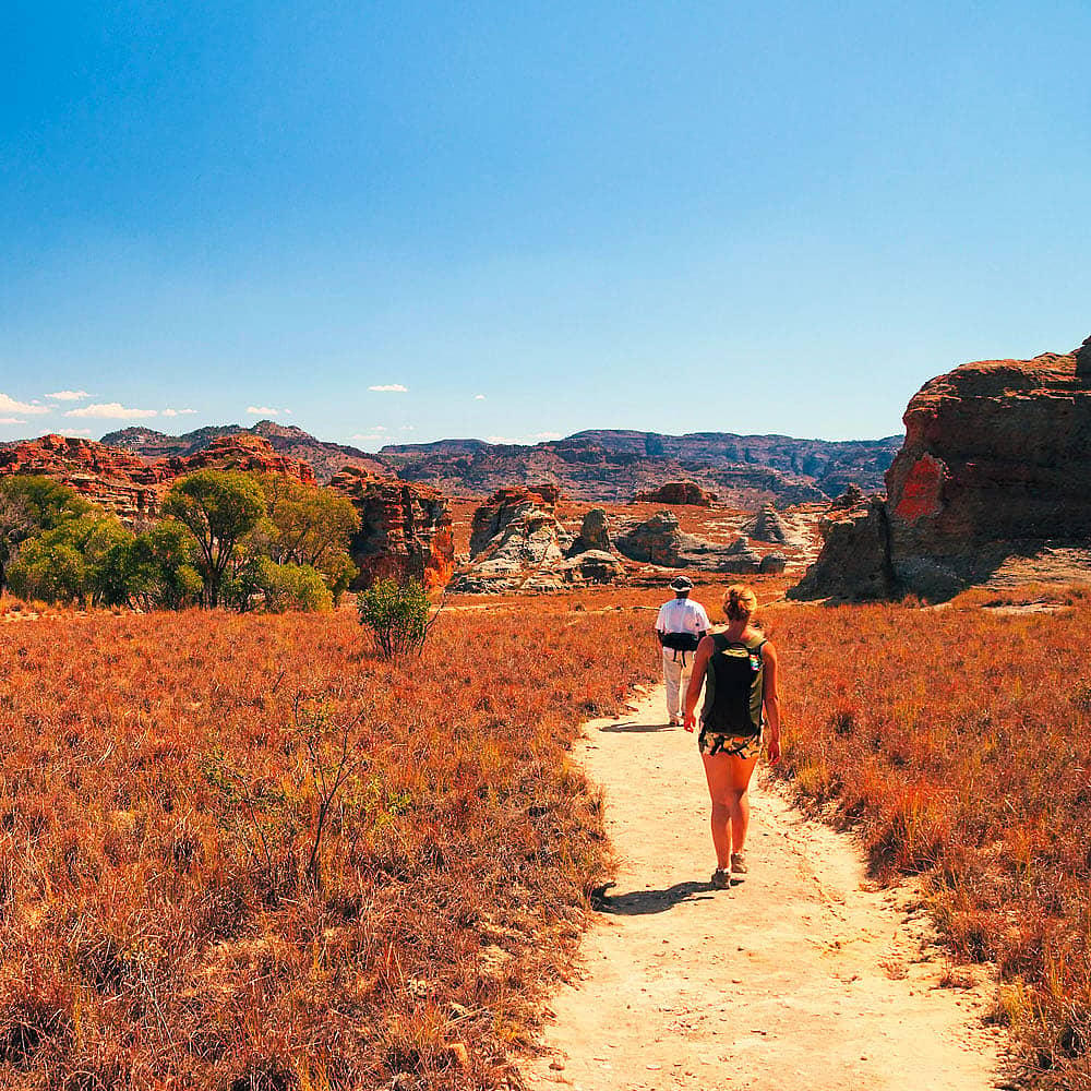
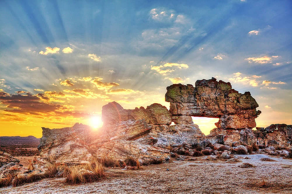
Ankarana means "the place where there are pointed rocks". The National Park, which is situated in the north of the Island, has an underground network of 120 km: the biggest in Africa.
Visit Ankarana
Art & Culture
Unesco World Heritage
Caves
Ankarana: How to get there?
80km by car or bus from Antsiranana
Ankarana: When to go?
Between April and October (dry season), there is a risk of cyclones between the end of December and mid-April.
Ankarana means "the place where there are pointed rocks". The National Park, which is situated in the north of the Island, has an underground network of 120 km: the biggest in Africa.
My suggestion
Be careful! A local guide is essential if you want to go into the park. He even has to have royal blood in order to get into some of the caves.
Who has never dreamed of going back in time to discover a lost paradise? Exploring the Makay massif, a remote territory in the extreme south of the island, is like discovering the myth of a forgotten valley that jealously guards its Noah's Ark...
The zebu is sure to feature in any trip to Madagascar and is of great importance in everyday life. The zebu is a visible sign of wealth, an essential part of farming and also plays a leading role in local culture.
Discover the Manambolo River, which flows through the western part of the country, gently crossing the regions of Melaky and Menabe. The journey down the Manambolo, which is more adventurous than the Tsiribihina, begins after a few days of trekking through the desert hills of the west. It is an excellent way to gain direct access to Tsingy de Bemaraha National Park!
Located A2 kilometres from Toliara, the Antsokay Arboretum is home to a great number of plant species from southern Madagascar. As you walk amongst the different trees, a guide will explain the role of each substance in the daily life of the region's inhabitants. A wonderful introduction to the culture of the south of the country