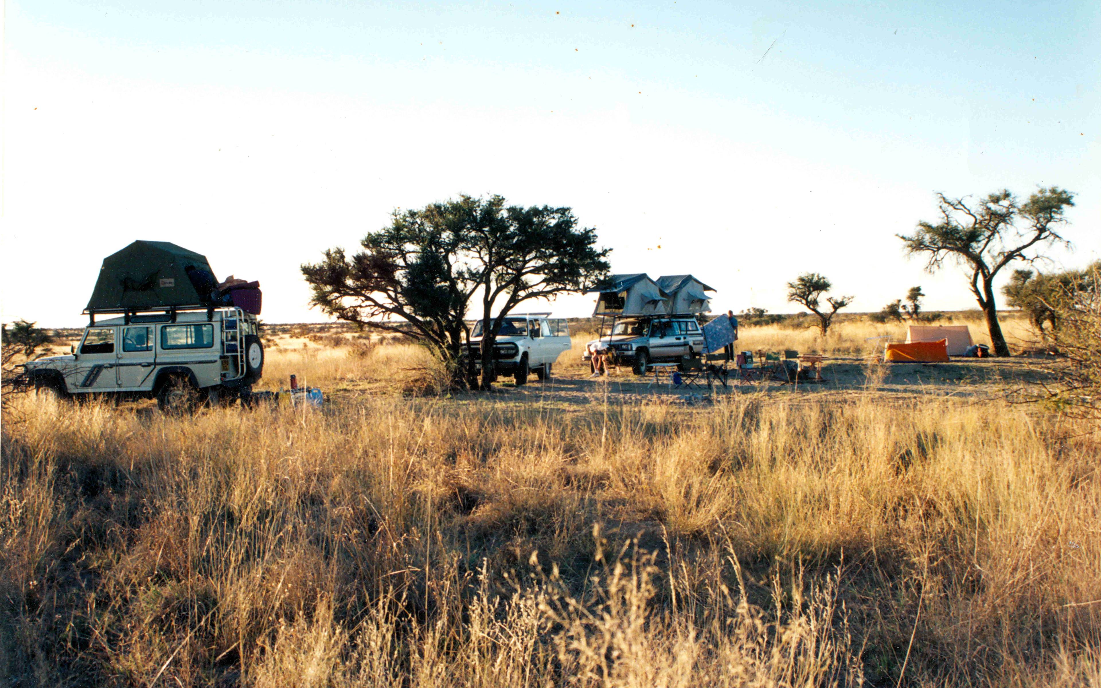
The immense desert covers almost half of Botswana and crosses both the Namibian and South African borders. Most tourists cross it little by little, stopping at bush camps along the way.
Moremi Game Reserve is a protected zone in the western Okavango Delta,which includes, among other things, the major island of the delta, Chief's Island and the Moremi language. It spans close to 5000km², of which only 30% is dry land.
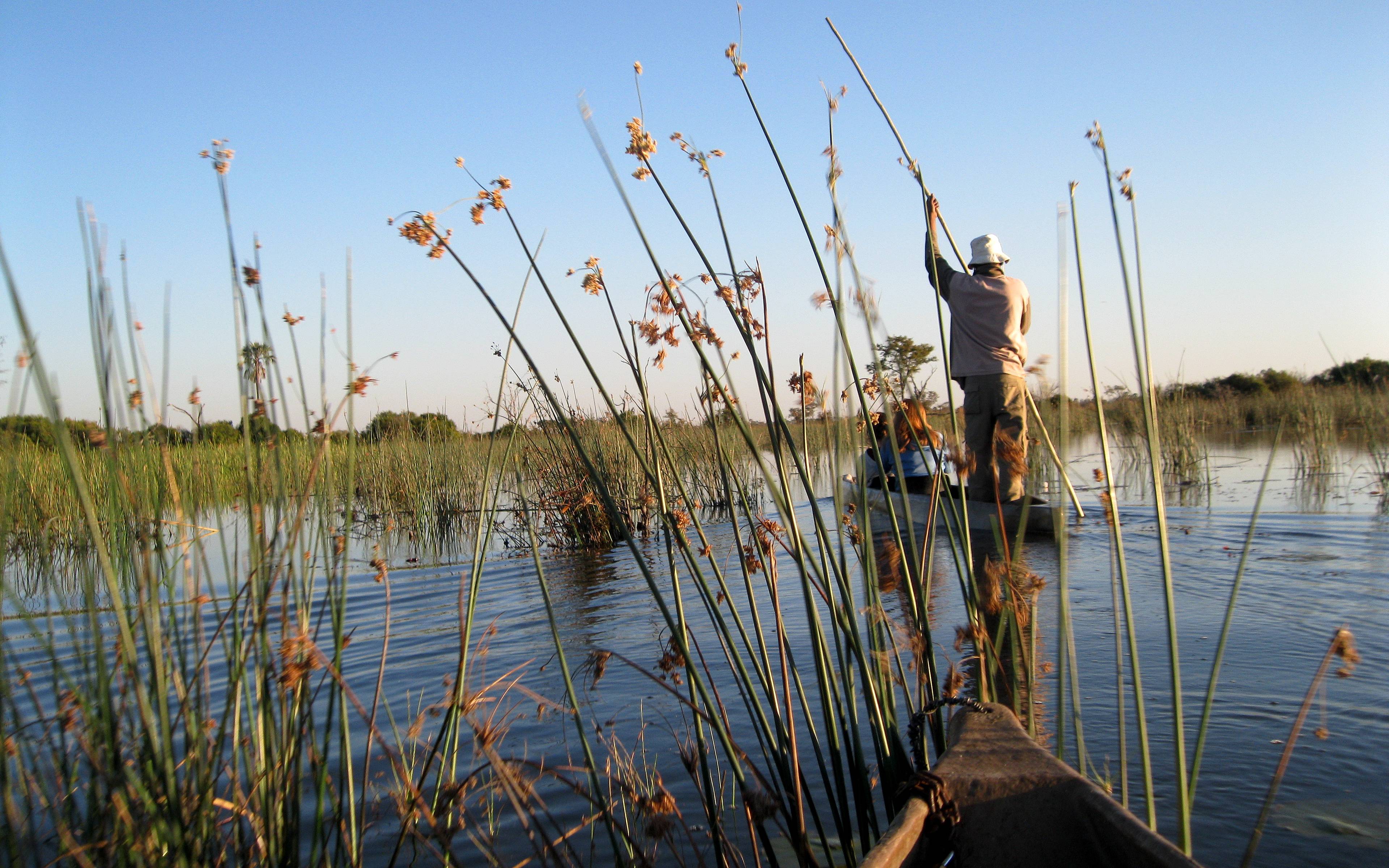
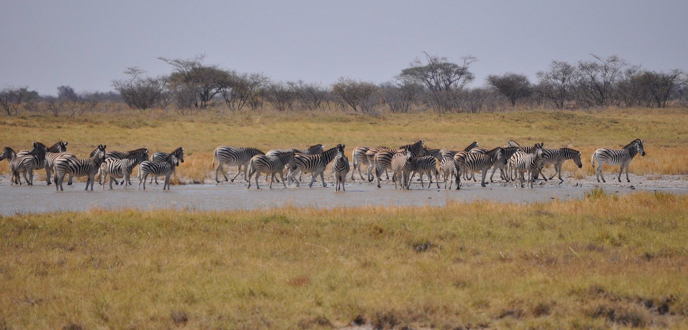
The Okavango Delta is the largest wetland in Botswana and where the Kalahari's animals come to drink.
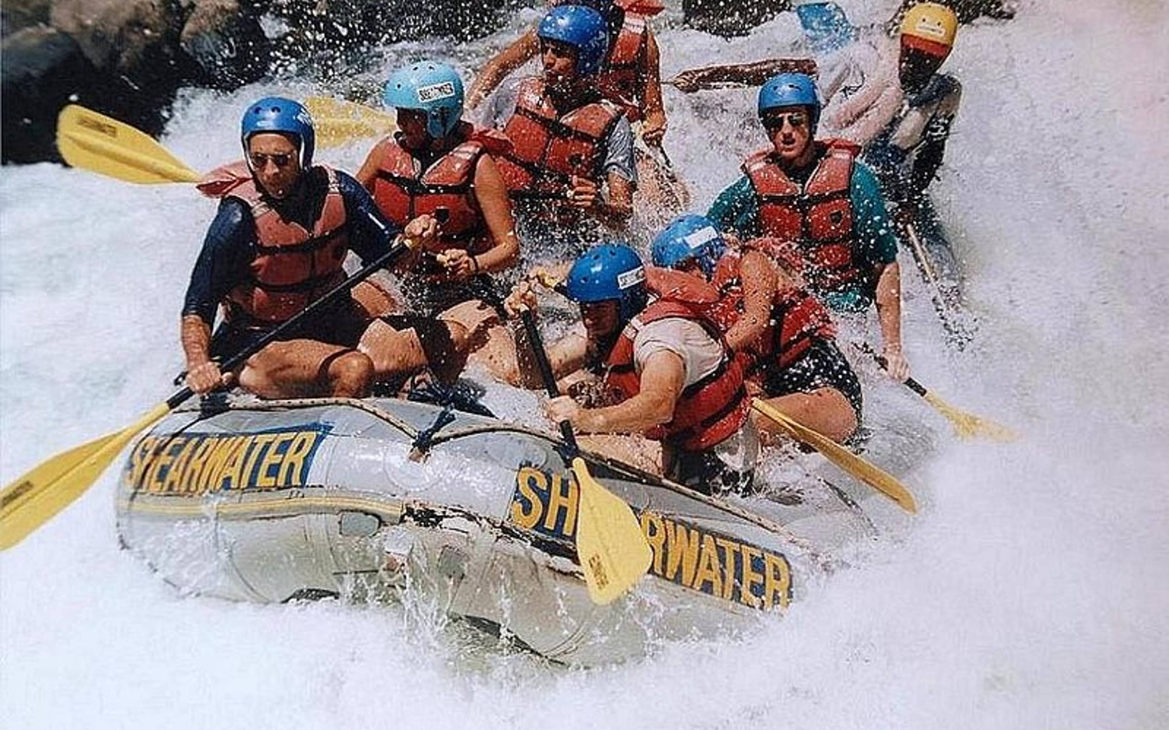
The Zambezi River is the 4th most important in the continent, behind the Nile, the Congo and the Niger. It stretches 2750 km from Zambia to the Indian Ocean, passing through Victoria Falls. Downstream, you can go rafting from Livingstone.
Chief's Island is the main island in the Okavango Delta. It's 70km long and 15km wide and includes the private Moremi Game reserve, where you can go on a wildlife spotting safari.
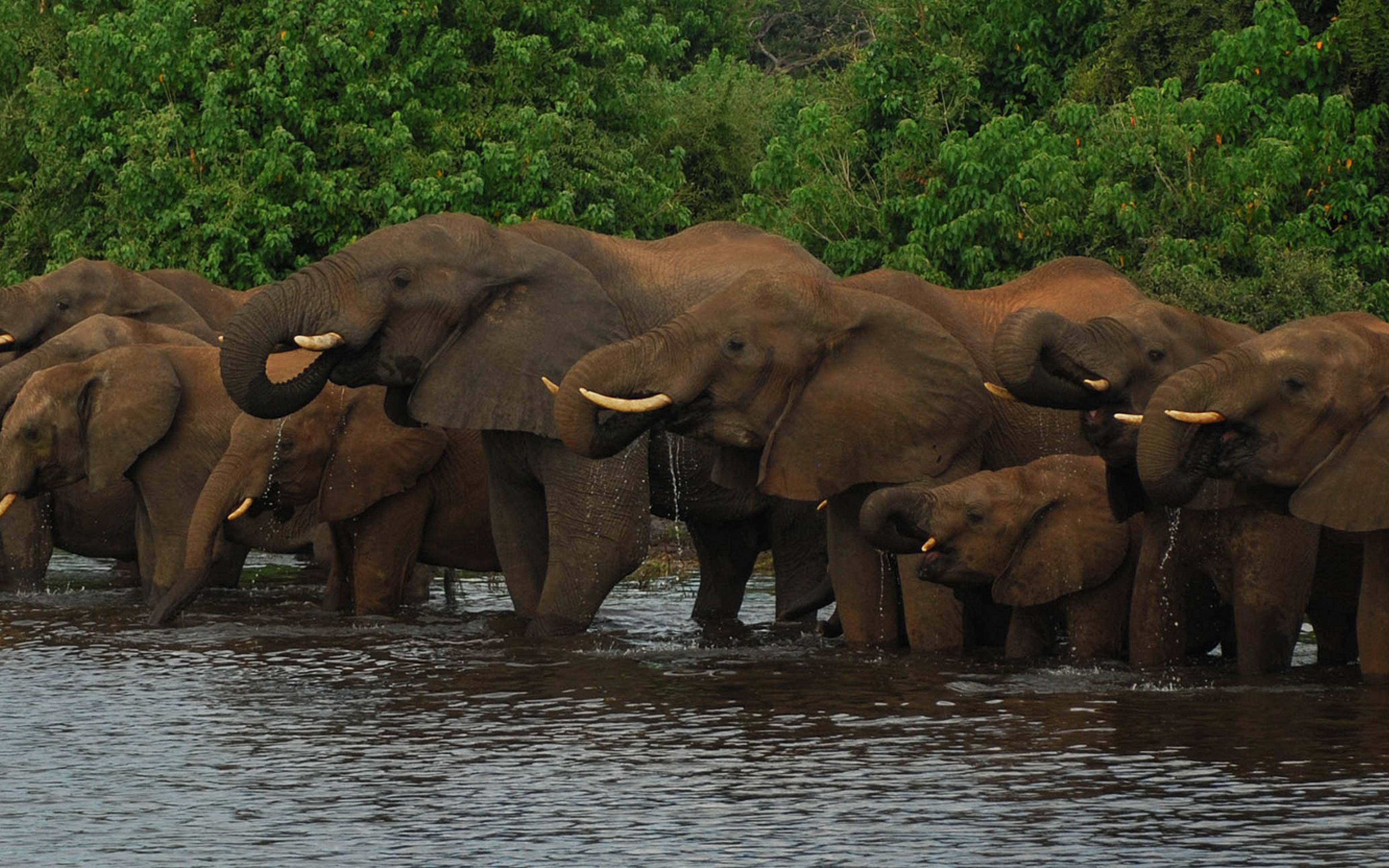
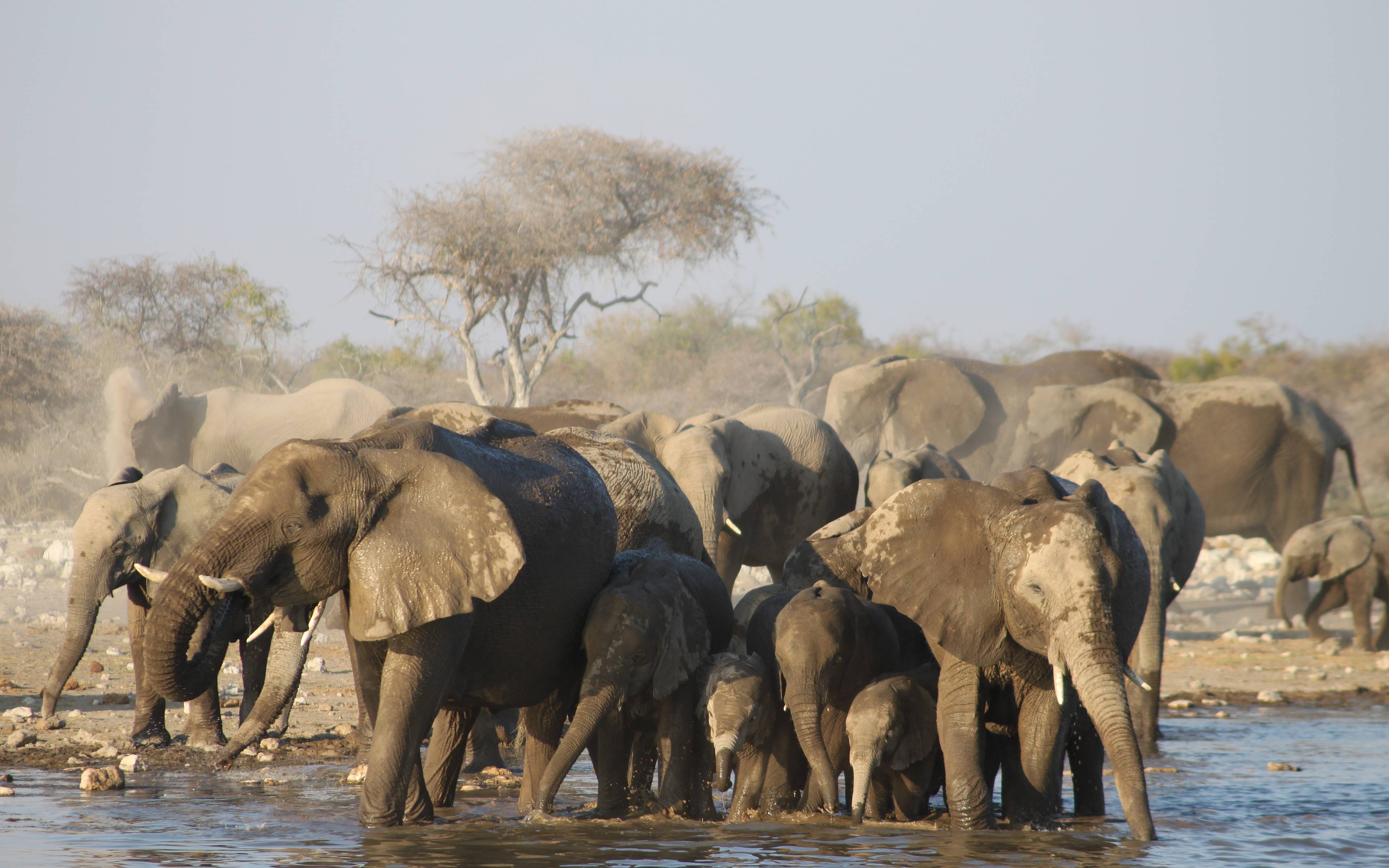
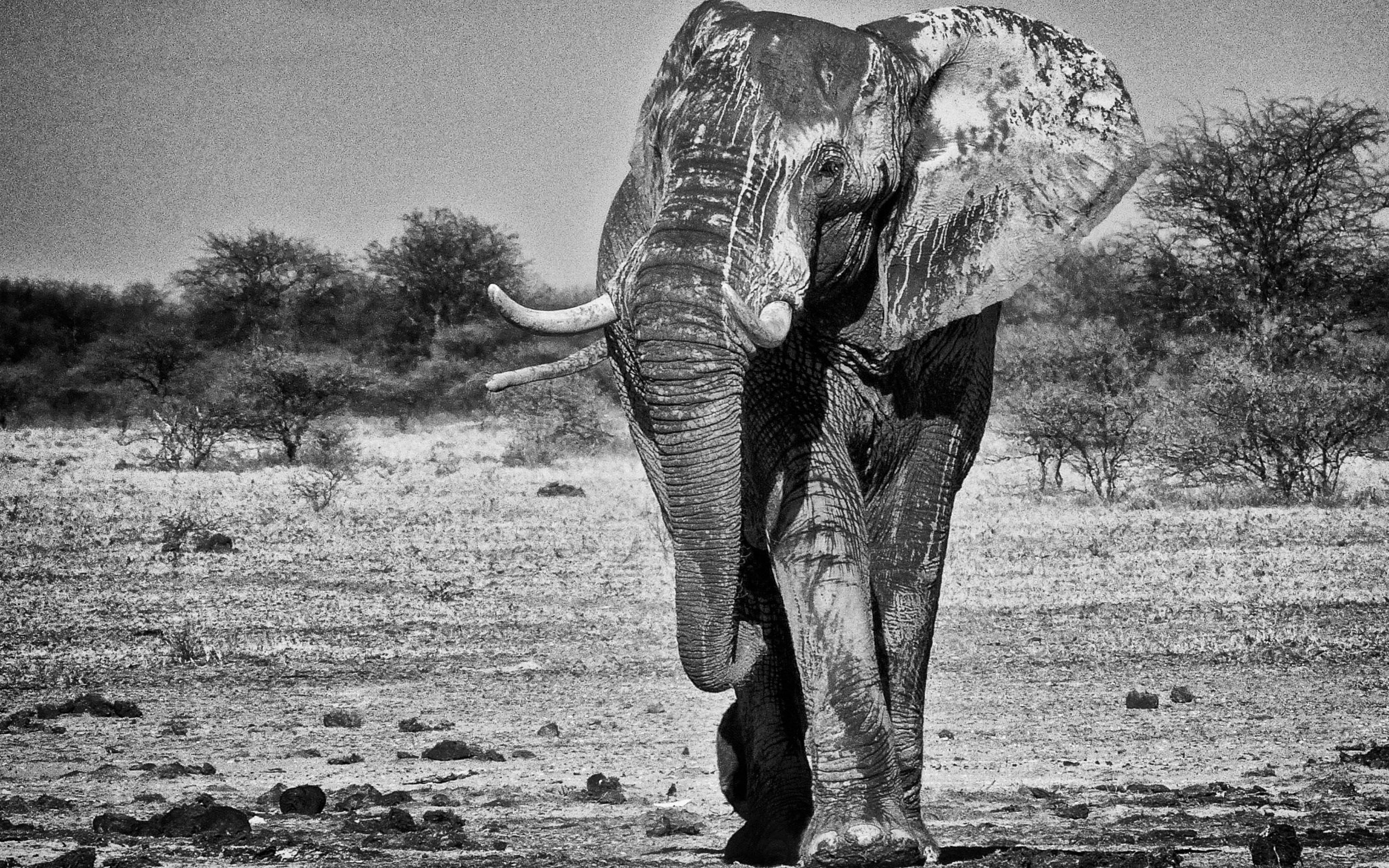
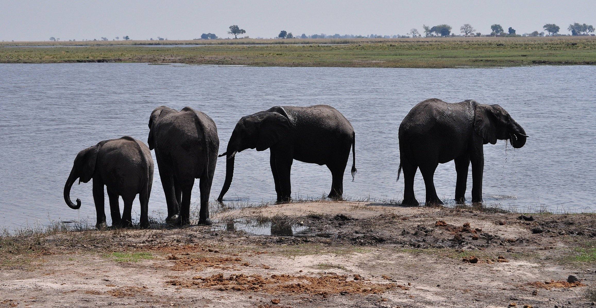
This 11,700km2 park is named after the River Chobe, which crosses the reserve. It stretches from the Victoria Falls to the Okavango Delta. It's famous for its elephant population - more than 50,000 live here, the largest concentration in the world!
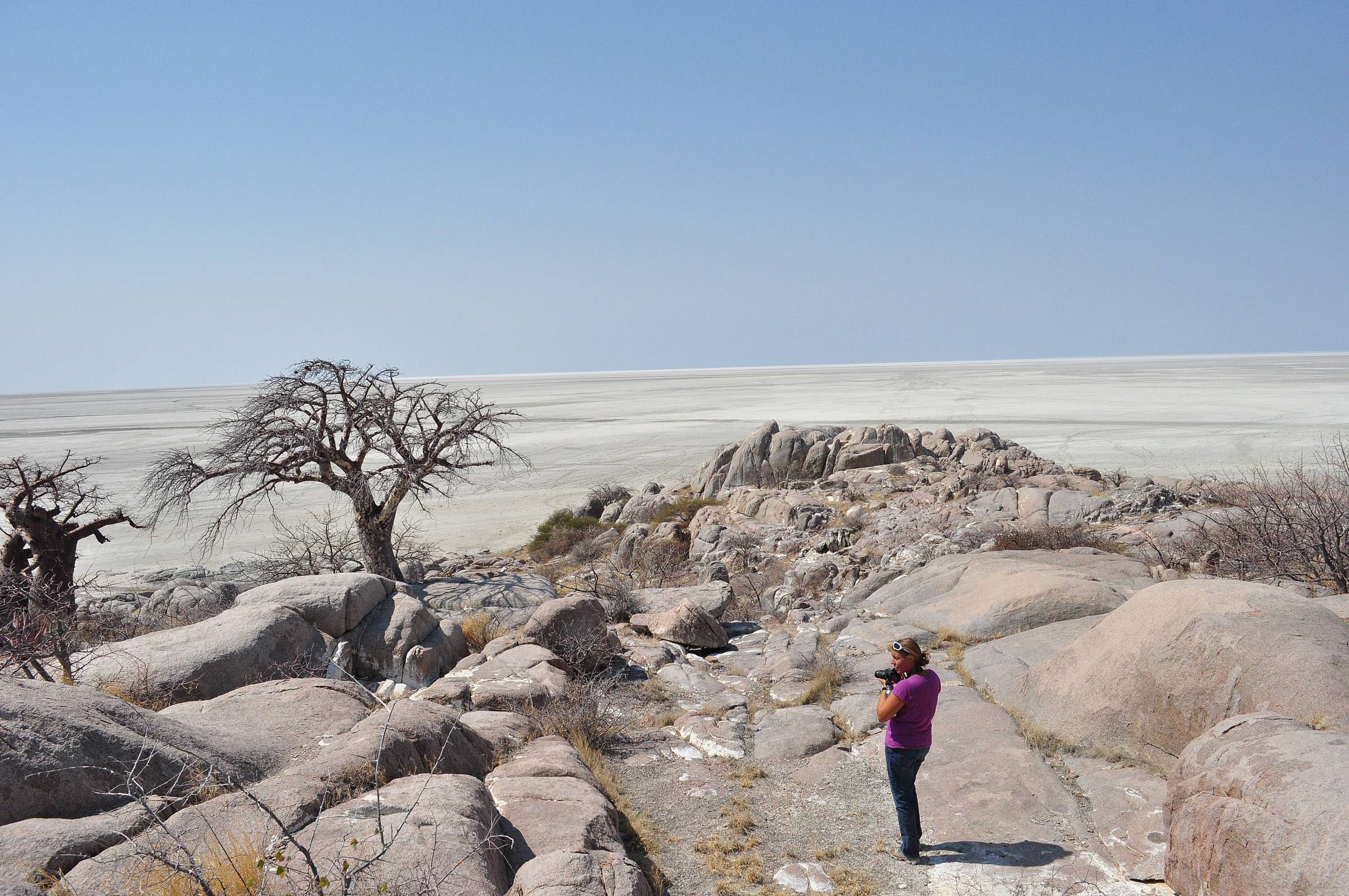
Located in the Makgadikgadi Pan in northern Botswana, Kubu Island is a holy place for the Khoe people, on which you can stay in a camp is run by a local community. It has been classed as a national monument.
Khwai is a village situated on the edge of the Moremi Game Reserve. It's the perfect base camp from which to explore the northern part of the Okavango Delta. A number of luxury lodges can be found along the banks of River Khwai.
The Bwabwata National Park is on the edge of the Caprivi Strip in Nambia. Established in 2007, it stretches across 6,300km2 and is bordered by Rivers Okavango and Cuando. Its abundant wildlife can be more easily observed close to water sources.
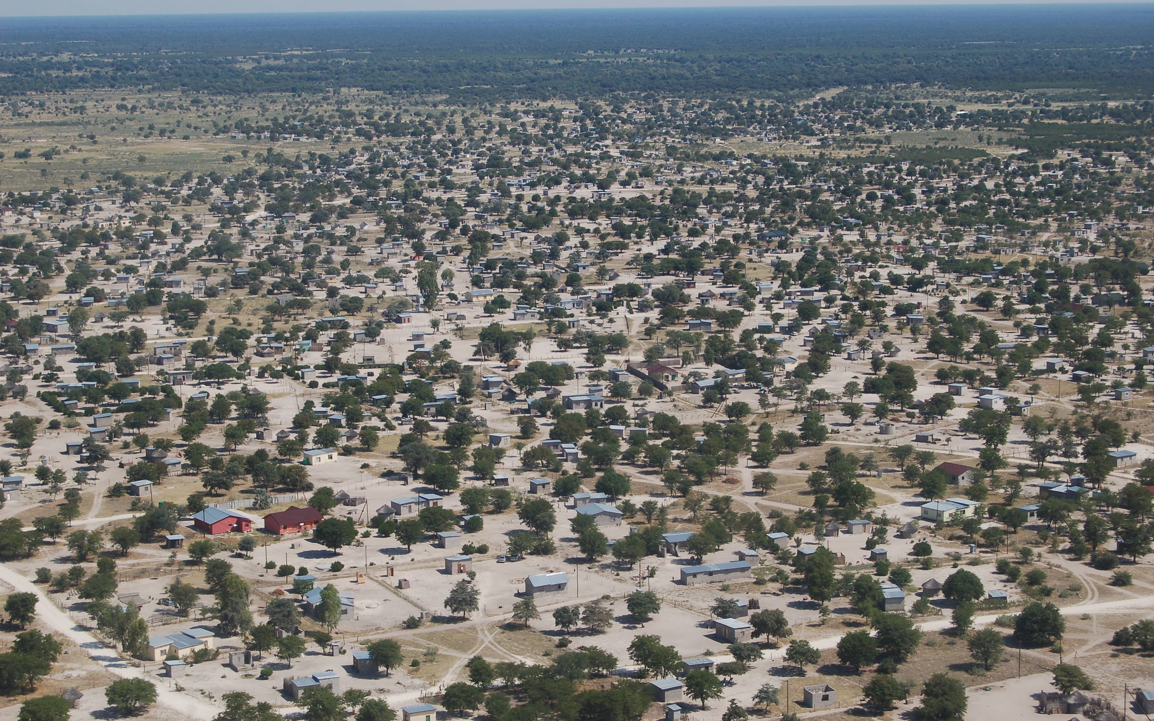
Maun is mainly a transit town for safaris.
Nxai Pan National Park is a salt pan - a fossilised salt lake that's only flooded during the rainy season. Its border's on the north side of the road linking Nata to Maun, as opposed to its sister park, the Makgadikgadi Pan, which is to the south of the road.
Makgadikgadi Pans is a salt pan, meaning a fossilised salt lake that's only flooded during the rainy season. Its border is on the southern part of the road linking Nata to Maun, as opposed to its sister park, the Nxai Pans National Park , which is to the north of the road.
Kasane is a city with nearly 10,000 inhabitants, located in the north of Botswana. It is very close to the "4 corners of Africa", the border crosses with Zambia, Zimbabwe and Namibia, located close to Victoria Falls.
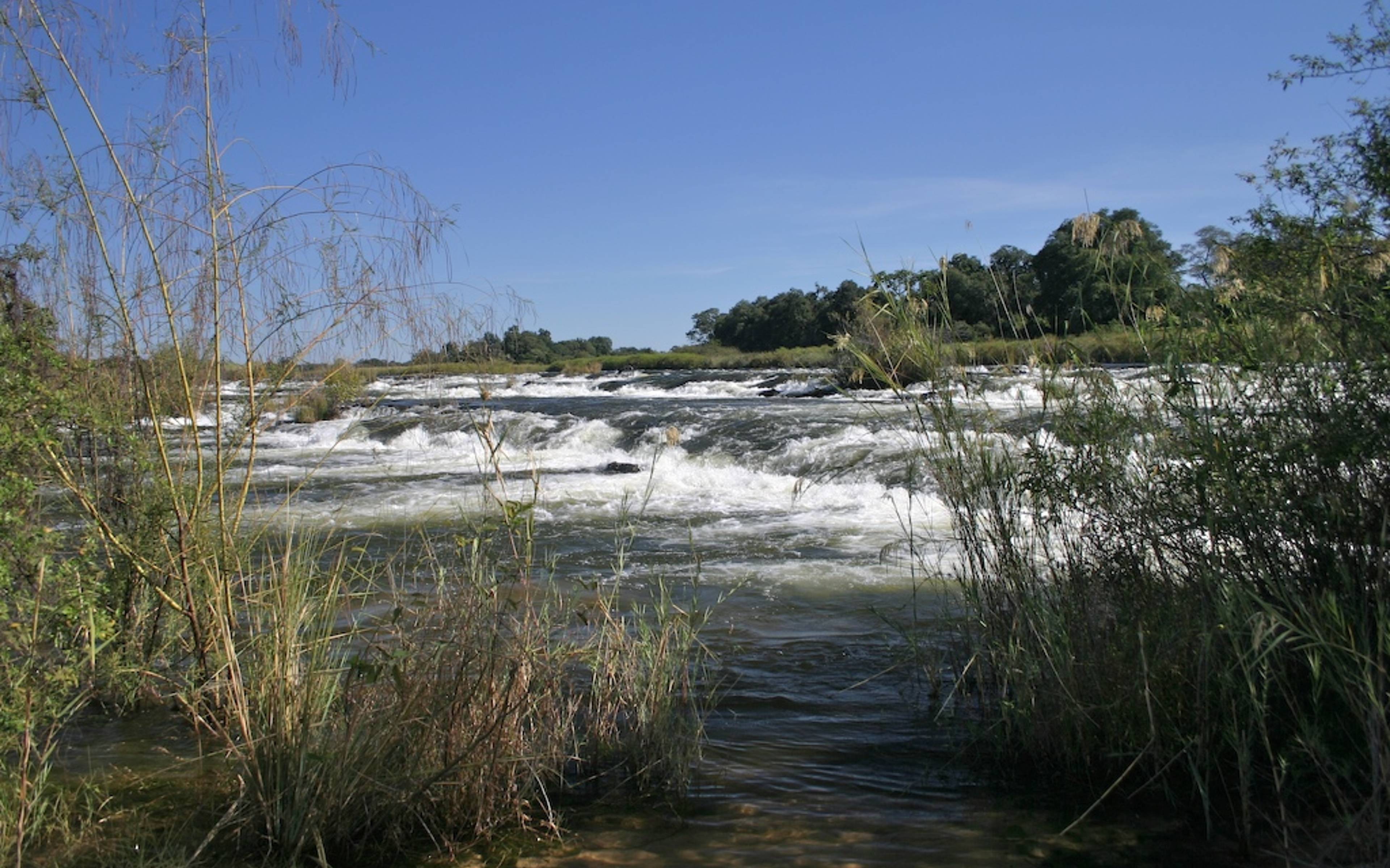
The Popa Falls are located on the Okavango River, in Bwabwata National Park, on the Caprivi Strip in Namibia. They're more like rapids and people stop here to observe the hippopotamuses.